
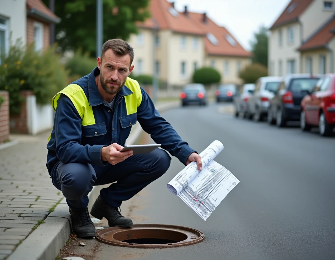
Obtaining the exact layout of the wastewater collectors serving a plot requires knowing who owns the data, in what format it is stored, and through which channel to access it. The sewer plan is not a single document: it is a superposition of layers managed by different stakeholders, rarely synchronized with each other.
Public network and private connection: two distinct plans not to be confused

The layout of the main collector falls under the jurisdiction of the sanitation organizing authority, usually the intercommunal authority or its delegate. The connection between the collector and the property boundary is the subject of a connection plan, kept by the municipal technical service or by the operator who carried out the work.
Related reading : Easily find a rental property that suits your needs and budget
Confusing these two documents is a common mistake. The public network plan indicates the diameter, material, and depth of the collector in the roadway. The private connection plan specifies the connection point, slope, and inspection chamber on the property side. During a real estate sale, it is the latter that is required to certify the compliance of the connection.
We recommend explicitly requesting both documents during any procedure, as one alone is insufficient for renovation work or a sanitation diagnosis.
Related reading : How to Easily Digitize Your Documents?
Sanitation portals of intercommunalities: access the sewer plan and map online
The classic approach by mail to the town hall remains functional, but many metropolitan areas now offer dedicated sanitation mapping portals. These are distinct tools from the Urban Planning Geoportal or the PLU: they specifically display the layout of collectors, discharge points, and sometimes the type of network (combined or separate).
Nantes Métropole, for example, directs individuals to a single sanitation counter managed by the delegated operator. Other municipalities integrate this data into their GIS (geographic information system) accessible online. The granularity varies: some layers show each inspection chamber, while others are limited to the schematic layout of the main collector.
To locate the right portal, one should search not for “wastewater network plan” on a search engine, but identify the competent authority in collective sanitation. Finding a sewer plan and map often goes through the intercommunal authority’s website, not the municipality’s website itself.
Tele-service networks and pipelines: an underutilized resource by individuals
The tele-service “Building without Destroying,” hosted on reseaux-et-canalisations.gouv.fr and managed by INERIS, allows for the declaration of a construction project near pipelines. In return, network operators (including sanitation managers) send the plans of their works within the declared perimeter.
This service also works for individuals planning excavation work, not just for construction companies. The project declaration (DT) or the declaration of intent to start work (DICT) triggers the sending of plans by the concerned operators.
The limitation of this tool: it does not provide a sanitation plan “on demand” for simple consultation. A concrete project must be justified. However, the plans received are often more precise than those available at the town hall, as they incorporate updates from the operators.
Precautions regarding the reliability of received plans
The plans transmitted via this tele-service carry a precision class (A, B, or C). Only class A guarantees a precision of less than 40 cm. Classes B and C imply deviations that can exceed one meter from the actual layout. Before any excavation, a network detector or further investigation is necessary if the indicated class is not A.
Sanitation zoning and SPANC diagnosis: two complementary documents to the network plan
Sanitation zoning, annexed to the PLU, defines the areas subject to collective sanitation and those under non-collective sanitation. This document has a direct legal scope: it determines the obligation to connect to the public network or, failing that, to install a compliant individual system.
Consulting the zoning before any sales promise allows one to know if the property must be connected to the sewer or if it falls under SPANC (public service for non-collective sanitation). In the latter case, SPANC produces a diagnostic report that locates the entire system: tank, drainage trenches, outlet.
- The sanitation zoning indicates the area (collective or non-collective) but not the exact layout of the network serving the plot.
- The SPANC report details the existing individual installation and its compliance status, useful if the property is not connected.
- The connection plan documents the actual connection between the property and the public collector.
These three documents answer different questions. We regularly observe buyers confusing the zoning (which states “you must be connected”) with the network plan (which states “the collector passes here, at this depth”).
What to do when the municipality has no digitized plan
In small rural municipalities, it happens that the layout of the wastewater network exists only in the form of paper sketches kept in the archives of the technical service. Some municipalities simply do not have an exploitable plan.
The most reliable solution in this case remains the use of an inspection camera in the pipelines. A professional introduces a camera from an accessible inspection chamber and maps the actual layout, connections, and condition of the pipes. This diagnosis produces a georeferenced plan that is much more precise than municipal archives.
- Ask the municipal technical service if there is a plan, even if partial or old.
- Contact the intercommunal sanitation union, which sometimes centralizes data not available at the town hall.
- Have a camera inspection carried out if no reliable plan is available, especially before a purchase or major work.
The cost of a camera inspection varies depending on the length of the network to be inspected, but it remains lower than the consequences of poorly positioned excavation that could damage a collector.
The search for a sanitation plan for a property rarely involves a single contact. Identifying the competent authority, distinguishing between public network and private connection, and cross-referencing documents (zoning, connection plan, SPANC diagnosis) remains the safest method to obtain complete information before any transaction or intervention on the network.